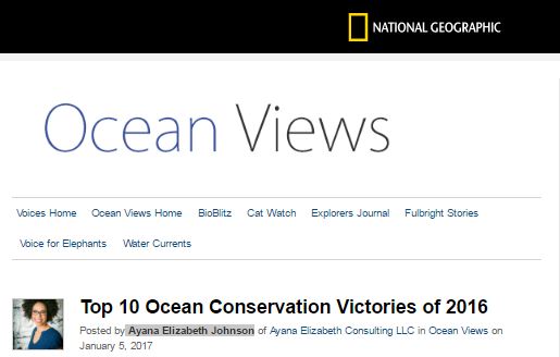
The Sea Around Us team couldn’t be more honoured. Today, National Geographic‘s Ocean Views published the “Top 10 Ocean Conservation Victories of 2016” and our program took the first spot.
“Future (fishery) management will have a more solid scientific foundation thanks to a decade of research by the Sea Around Us Project,” Marine Biologist Ayana Elizabeth Johnson wrote.
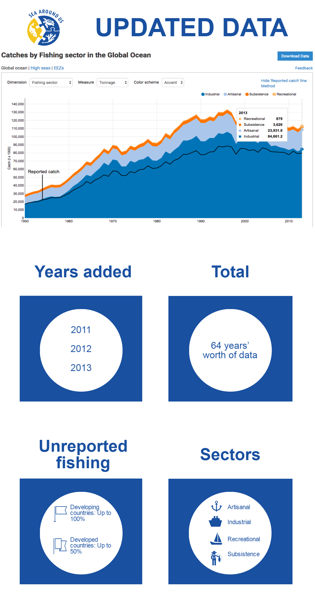
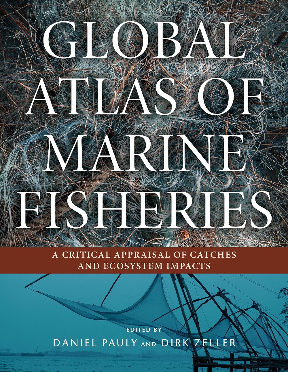
In 2016, the Sea Around Us compiled most of its findings in two major publications: The Nature Communications paper “Catch reconstructions reveal that global marine fisheries catches are higher than reported and declining” and the Global Atlas of Marine Fisheries.
The main discovery? Countries drastically underreport the number of fish caught worldwide, and the numbers obscure a significant decline in the total catch .
Follow this link and read more on NatGeo’s article.