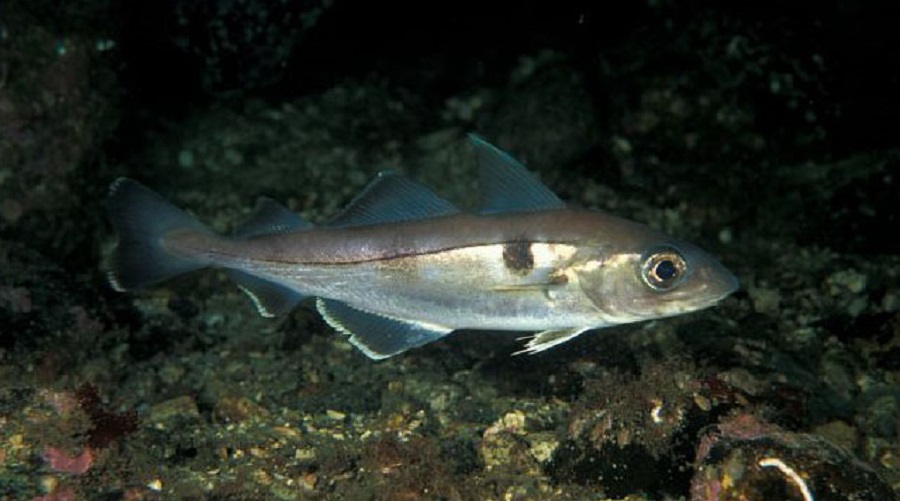
Melanogrammus aeglefinus or haddock. Photo by Salesjö, A., FishBase.
An international team of researchers gathered in the FISHGLOB Consortium has released a new dataset that presents standardized information from publicly available scientific bottom trawl surveys conducted in the waters of 18 countries from 1963 to 2021 and covering over 2,100 fish species.
The purpose of the dataset is to simplify the job of other researchers who have to deal with different units, measurements, and survey cycles, among other disparate pieces of information included in numerous databases when studying groundfish’s occurrence, abundance, biomass and other characteristics that are key to monitor biodiversity, species distribution in time and space and responses to climate change, among other ecological aspects.
“Our FISHGLOB_data provides the first worldwide compilation of public scientific bottom trawl survey data that crosses continents in a user-friendly format,” said Aurore Maureaud, lead author of the Scientific Data paper that presents the dataset. “The goal of this dataset is to support research, marine conservation and management. It is an important piece of evidence that national and regional agencies can use to collaborate.”
So far, integrating large-scale ecological survey datasets has been challenging because they are rarely collated, shared, and maintained in formats ideal for public use and reuse. In the particular case of scientific bottom trawl surveys, standardization has proven difficult because the organizations running them sometimes operate unequally when it comes to time and space, have different expertise, structure their data using different units and formats, record different taxonomic levels, provide different raw data, among other issues.
“Guided by the FAIR principles that contemplate making data Findable, Accessible, Interoperable and Reproducible, we present this pre-processed fish community dataset compiling 29 regional scientific bottom trawl surveys from North American and European continental shelves and slopes, explain the steps we used to develop this spatio-temporal dataset and provide guidance on how end-users can employ it in their research,” Maureaud said. “Our work relies on a consortium of data generators and users that interact with the data.”
By applying novel methods for standardizing the spatiotemporal footprint of each survey region and for identifying changes in species identification, the FISHGLOB group addresses long-standing concerns and challenges in the analysis of scientific bottom trawl surveys.
Complementing previous inventories of existing survey metadata, FISHGLOB_data’s open-source workflow and codes allow users to submit updates related to the most recent bottom trawl surveys available. They can also modify, adjust and/or reproduce the processing methods, and provide feedback.
“This paper contributes to open science practices, particularly around methods and resources for the community of ecology and fishery scientists who would use the data in their research,” said Maria ‘Deng’ Palomares, co-author of the study and project manager of the Sea Around Us, an initiative at the University of British Columbia that reconstructs global catch data and assesses the impact of fisheries on the marine ecosystems of the world.
“Providing an easy-to-use method to incorporate data from scientific bottom trawl surveys in research is crucial because such surveys not only collect biological data to inform fish stock assessments but also help us understand species co-occurrence and the relationships between fish and invertebrates from different trophic levels; long-term changes in fish communities; biodiversity changes; the fact that some species move from one environment to another, and the reasons behind biomass changes in the study regions,” Palomares said.
The study “FISHGLOB_data: an integrated dataset of fish biodiversity sampled with scientific bottom-trawl surveys” was published in Scientific Data doi: https://doi.org/10.1038/s41597-023-02866-w

