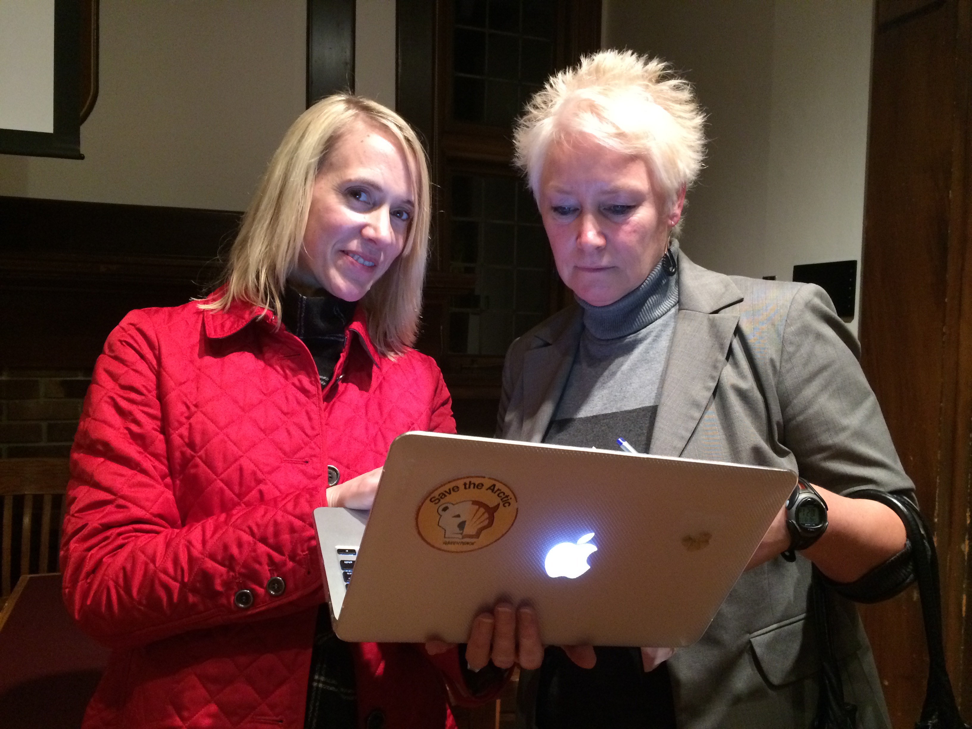
Dr. Elsie Sunderland (left). Photo: Valentina Ruiz Leotaud.
By: Valentina Ruiz Leotaud.
On November 17th, the Nereus Program hosted a talk with a VIP guest speaker: Dr. Elsie Sunderland, the Thomas D. Cabot Associate Professor of Environmental Science and Engineering at the John A. Paulson School of Engineering and Applied Science at Harvard University.
In an hour-long presentation, which took place at UBC’s Green College, Dr. Sunderland summarized part of the work that her research group is undertaking on the biogeochemistry of global contaminants.
Many environmental contaminants biomagnify in marine food webs, reaching high concentrations in top predators, which means that they are posing health risks to humans and wildlife.
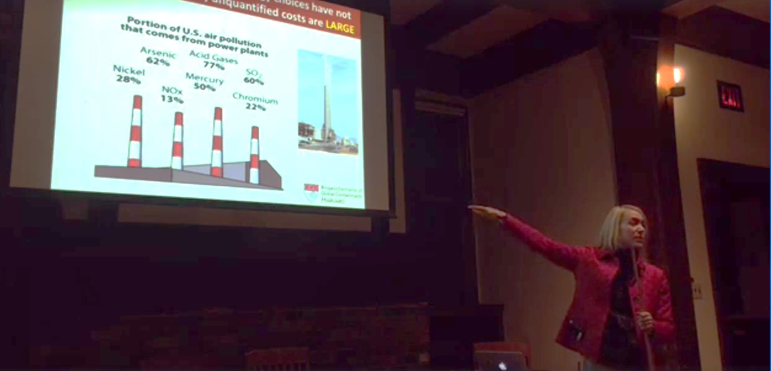
Sunderland started by saying that focusing just on carbon pollutants provides a very narrow view that ignores the vast array of substances affecting the environment. Even when policymakers think they are choosing the greenest options when it comes to energy generation, they might be doing quite the opposite.
Dr. Elsie Sunderland.
Continue reading →